List Quickly!

Turn satellite imagery into professional-quality aerial shots with AI!

Slide me!

Before image alt After image alt

Slide me!

WE DO IT ALL!

Living rooms!

Before image alt After image alt

Bedrooms!

Before image alt After image alt

Pick Your Tool!

🛋️ Virtual staging
Before image alt After image alt

Turn empty rooms into professional-quality virtually staged interiors.

🚁 Satellite Shots
Before image alt After image alt

Turn satellite imagery into professional-quality aerial shots.

𓉩 Floor plan
Before image alt After image alt

Turn a hand drawn floor plan into professional-quality 2D floor plan.

Soon
Before image alt After image alt

We are always working on more and innovative tools.

Transform Any Space on Any Device!
Now with Our New App!

Frequently Asked Questions!

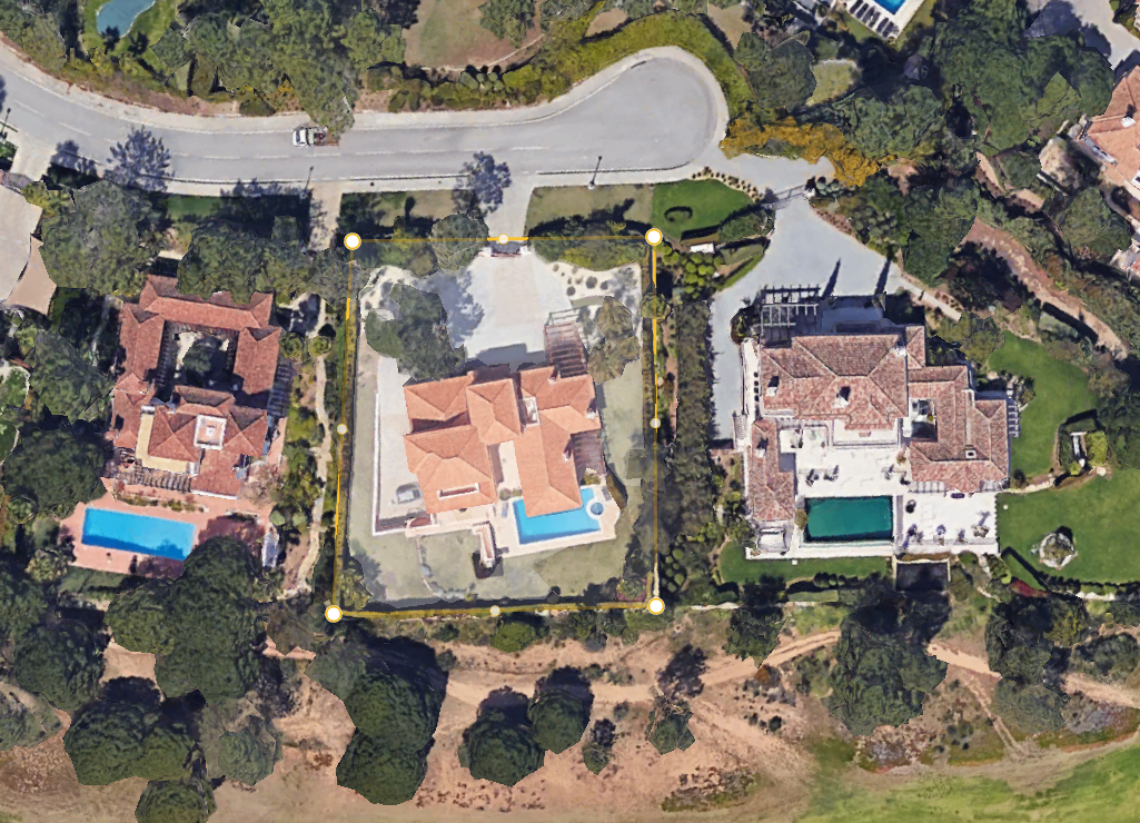
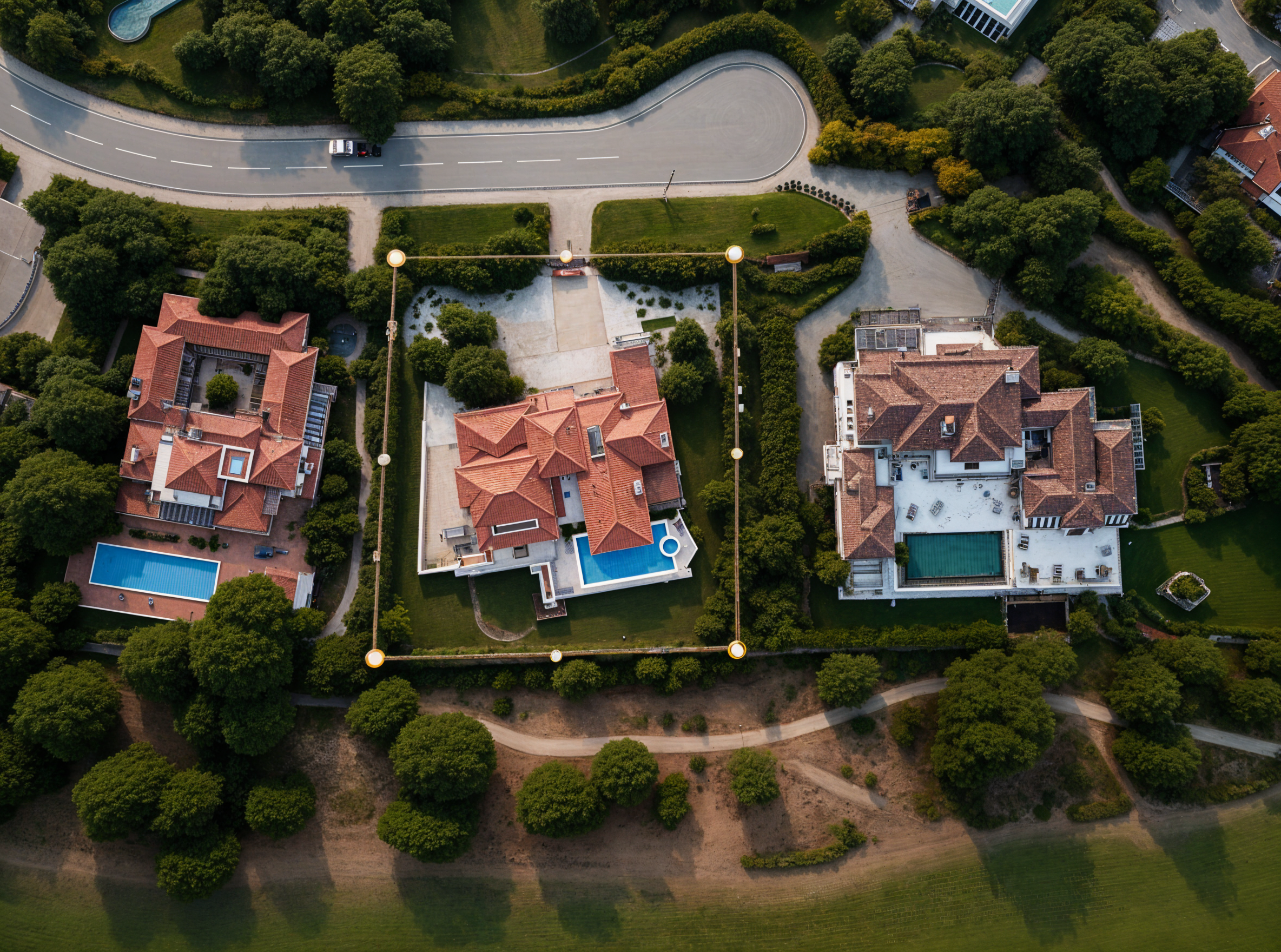
AI Aerial Enhancement is a technology that transforms standard satellite images into high-quality, professional-looking aerial shots. It uses advanced AI to enhance color, lighting, sharpness, and clarity making property visuals look stunning and realistic.

Instead of manually editing satellite images or hiring drone photographers, AI automatically enhances your imagery in seconds. This means faster turnaround times for listings, marketing materials, and presentations.

Yes. Crisp, clear, and visually appealing aerial shots make listings more attractive and engaging, helping potential buyers visualize the property and its surroundings more effectively.

Absolutely as long as the enhanced images accurately represent the property’s layout and environment. The goal is to make images clearer and more visually consistent, not to mislead buyers.

Buyers are more likely to engage with listings that feature clean, detailed, and well-lit aerial shots. Enhanced images give a more professional and trustworthy impression of the property.

Upcoming innovations include 3D terrain mapping, automatic boundary outlining, and integration with virtual staging tools — allowing for complete top-down and interior visualization in one platform.

Some agents prefer drone photos for custom angles or video footage. However, AI enhancement offers a cost-effective and faster alternative that delivers similar quality without needing on-site photography.

While AI can greatly improve clarity and aesthetics, it cannot generate new perspectives it works only with the satellite imagery provided. Heavily clouded or low-resolution images may still need manual review.

Modern AI models are trained to maintain a natural look while enhancing image quality. The result is realistic, professional-grade aerial photography that looks authentic and visually appealing.

Benefits of Quicklistings!

Images for Everyones Imagination.

Save Time on Image Editing.

Picture-Perfect Results.

Great for Social Media.

Have A Question?

Send us an email!

Contact Us
Scroll to Top